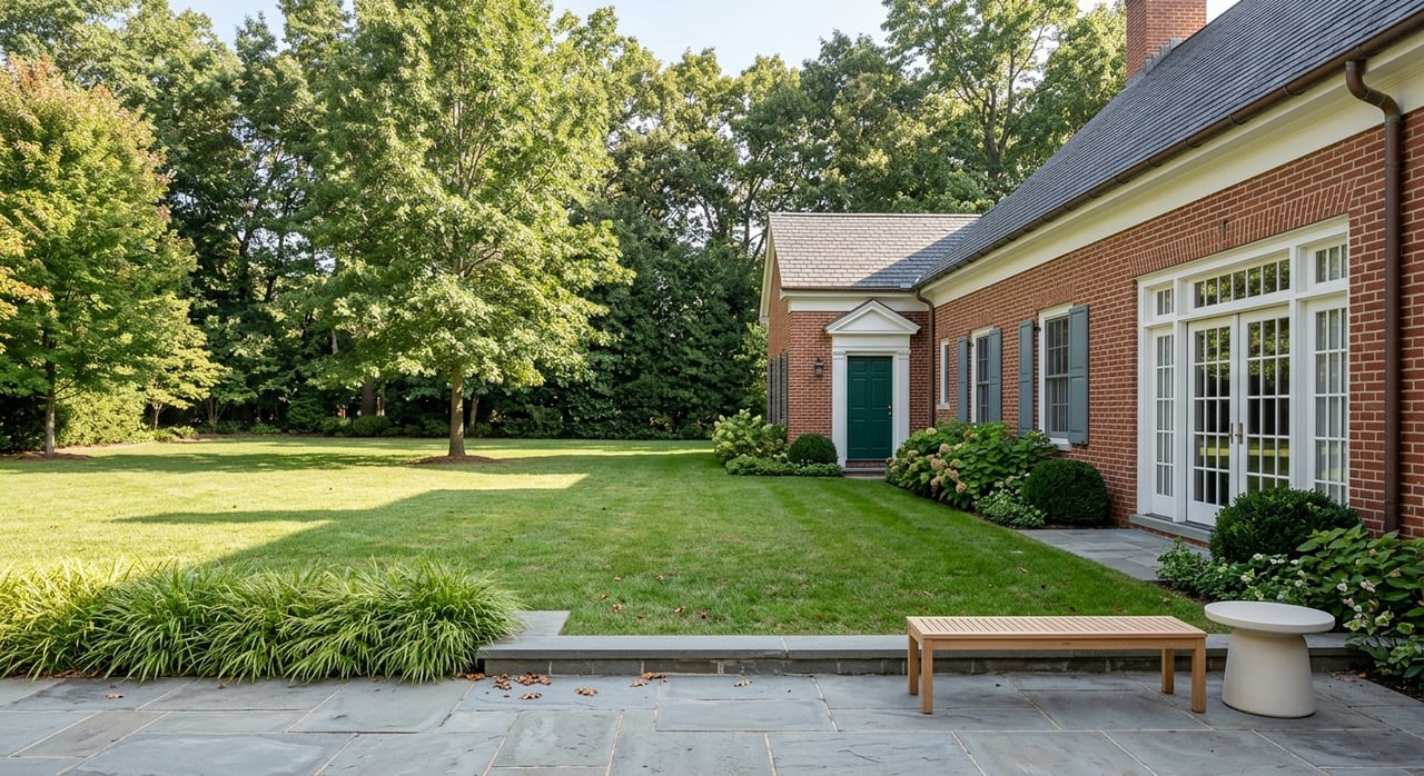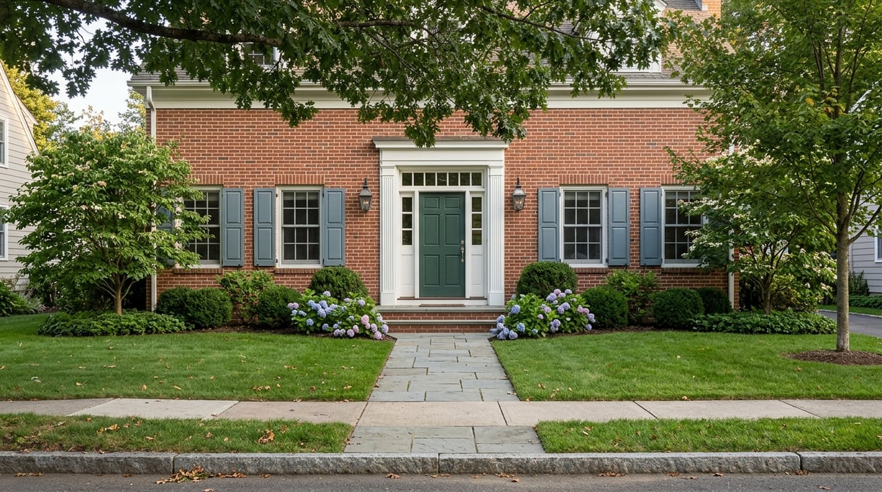
Love the idea of living steps from Wolf Trap or along the trails of Difficult Run? You picture summer concerts, tree‑lined views, and weekend walks on shaded paths. Those are real perks, but the same green corridors can come with mapped flood zones, stream buffers, and event traffic you should understand before you write an offer. In this guide, you’ll learn which maps to check, what the rules mean for renovations, and how to do smart, local due diligence so you can buy with confidence. Let’s dive in.
Where Wolf Trap and Difficult Run are
Wolf Trap National Park for the Performing Arts sits in Vienna between Route 7 and the Dulles Toll Road. It is an active venue with year‑round programming managed by the National Park Service, so plan for seasonal crowds and evening events near the park’s entrances. You can review directions, parking, and schedules on the National Park Service’s Wolf Trap page.
Difficult Run is both a stream and a 57‑square‑mile watershed that drains to the Potomac River across Fairfax County. Stream valley parks, tributaries like Colvin Run, and long trail corridors wind through neighborhoods around Vienna and the Hunter Mill District. Fairfax County’s Difficult Run watershed overview explains the system and why some homes sit near parkland, trails, or mapped stream buffers.
First check flood maps
Flood risk is mapped at the federal and county levels, and lenders rely on these maps. Start with FEMA’s Flood Insurance Rate Maps, which determine whether a property sits in a Special Flood Hazard Area. You can search by address and create a panel map on the FEMA Flood Map Service Center. Always check FEMA first.
Fairfax County adds local detail through its digital flood mapping and Flood Risk Awareness tools. These viewers show FEMA flood hazards, recorded floodplains, and potential overland flow paths that can affect specific homes or streets. Use the county’s DFIRM and Flood Risk resources to compare local layers with FEMA.
If your target home is inside the Town of Vienna, the Town can help confirm whether the address lies in a regulated floodplain and answer SFHA questions. See the Town’s Special Flood Hazard Area guidance and contact staff with the exact address.
How to read FEMA and local maps
- FEMA zones A, AE, or VE usually trigger a lender’s flood insurance requirement. Zone X typically does not. Check the panel effective date and save a copy for your file.
- County viewers can show drainage patterns and recorded features that FEMA maps do not. Compare both to get a fuller picture.
- Flood maps are updated over time. If a home is close to a floodplain today, re‑mapping later can change insurance or renovation plans.
Quick map steps
- Pull a FIRMette for the address on the FEMA Flood Map Service Center.
- Open Fairfax County’s DFIRM and Flood Risk tools and toggle layers for Recorded Floodplains and Overland Relief Flow.
- If the property is in Vienna town limits, check the Town’s SFHA page and ask staff to confirm boundaries for the specific address.
Stream buffers and RPA rules
Much of the Difficult Run corridor is subject to the Chesapeake Bay Preservation Ordinance. Properties near perennial streams and mapped floodplains often include a 100‑foot Resource Protection Area, or RPA. Work inside an RPA can require review or an exception, especially for additions, pools, sheds, hardscaping, or tree removal. Review Fairfax County’s Chesapeake Bay Preservation Ordinance and RPA guidance.
Fairfax County has also updated CBPO rules to strengthen tree protection and resilience requirements for certain projects. If you plan to renovate, verify what applies to your parcel and whether a prior RPA delineation or exception exists. See the county’s CBPO update bulletin for context on recent changes and process steps: LDS CBPO amendments and bulletins. RPAs can limit projects and add time and cost, so plan early.
Traffic, noise, and trails
Wolf Trap’s performance schedule brings predictable evening and weekend traffic near Trap Road and surrounding streets. The National Park Service’s Wolf Trap updates cover arrival guidance, shuttles, and parking, which can help you choose when to visit during your home search. If noise is a concern, visit at event times and again on a quiet weekday.
Stream valley trails, the Cross County Trail, and other green corridors often sit close to backyards. Many buyers love that trail access and open space, while others prefer more separation. The Fairfax County Park Authority’s trail pages show alignments so you can see how close paths run to specific neighborhoods.
Valuation near parks and venues
Living near a cultural venue and parkland can support higher demand and pricing, especially for tree‑lined lots and trail access. In the Wolf Trap area, neighborhood reports show strong pricing trends for nearby homes, which aligns with what many buyers value. Explore local trends on the Wolf Trap market report and consider how micro‑location influences comps.
At the same time, research on park adjacency finds the premium can vary with distance and nearby activity. Foot traffic, evening events, and privacy tradeoffs can reduce or offset some of the upside for certain buyers. The National Recreation and Park Association summarizes these effects in its review of how parks impact property values.
Buyer checklist for Vienna
Use this simple checklist to avoid surprises:
- Confirm FEMA status: Save a FIRMette and note the zone and panel date from the FEMA Flood Map Service Center.
- Compare local flood layers: Open Fairfax County’s DFIRM and Flood Risk tools for recorded floodplains and overland flow paths.
- Verify RPA and stream buffers: Check the county’s CBPO and RPA rules. Ask sellers for any WQIA approvals or RPA exceptions on file.
- If in Town of Vienna: Use the Town’s SFHA guidance and contact staff to confirm boundaries for your address.
- Review title and survey: Look for conservation, park, flood, or stormwater easements that affect use.
- Ask for disclosures: Request any elevation certificates and flood‑insurance claim history.
- Visit at key times: Tour during or near Wolf Trap events and after heavy rain to gauge traffic, sound, and drainage.
- Plan permits early: If you intend to add a deck, pool, or addition, consult county LDS about RPA or floodplain review. Check recent CBPO bulletins for current standards.
- Consult pros: A surveyor can map RPA lines, an engineer can assess drainage, and an insurance agent can price NFIP or private flood coverage.
Ready to buy with confidence
Buying near Wolf Trap or along Difficult Run can deliver rare access to culture and nature. With the right maps and a short due‑diligence sprint, you can protect your plans for renovations, insurance, and resale. When you want a local partner to guide the process from first tour to closing, reach out to HOMEGROWN The McDonald Etro Group. We’ll help you weigh the amenities and constraints so you can choose the right home for your goals.
FAQs
Is being near Wolf Trap good for price in Vienna?
- Many buyers value proximity to parkland and performances, and area reports show strong pricing near Wolf Trap, though event traffic or noise can affect how individual buyers value a specific street.
Can I build a deck if my yard backs to Difficult Run?
- Possibly, but if any part of the project is inside an RPA or mapped floodplain, Fairfax County review or an exception may be required before permitting.
How do lenders decide on flood insurance in Vienna?
- Lenders use FEMA’s flood zones to determine whether insurance is required, and premiums depend on the zone, elevation, and structure characteristics.
Who enforces stream buffer rules in Fairfax County?
- Fairfax County enforces the Chesapeake Bay Preservation Ordinance and can require restoration and penalties for unauthorized clearing or construction in RPAs.
How can I confirm if a Vienna property is in a floodplain?
- Check FEMA’s official map and then contact the Town of Vienna or use Fairfax County’s DFIRM and Flood Risk tools to verify local conditions for the exact address.